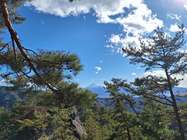
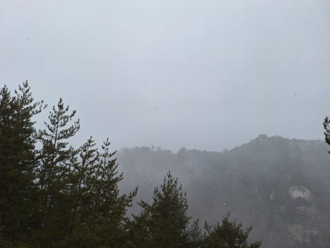
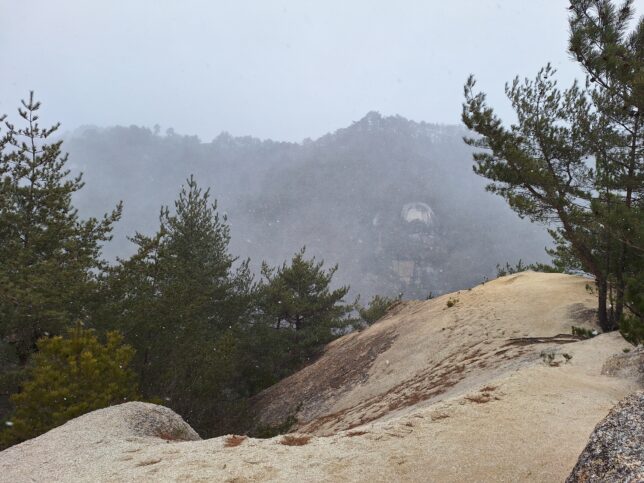
Top of Mount Shirasuna, Kai-city, Yamanashi, 01/11/2026
Top of Mount Shirasuna, Kai-city, Yamanashi, 01/11/2026
Before 40 minutes,
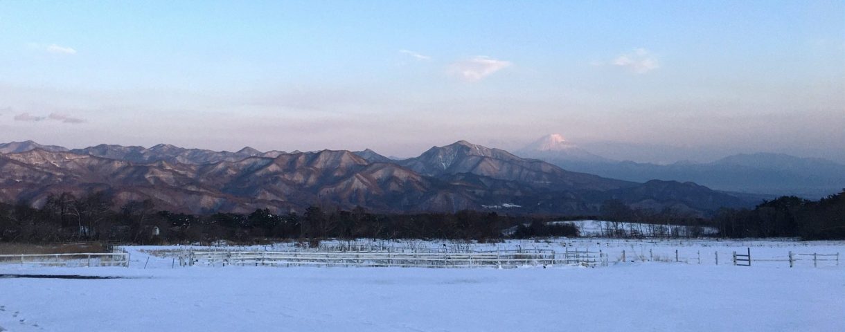
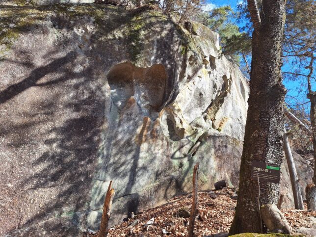
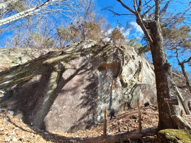
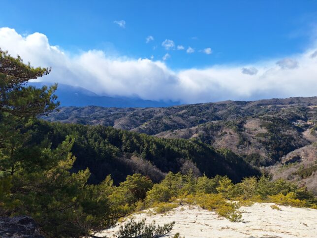
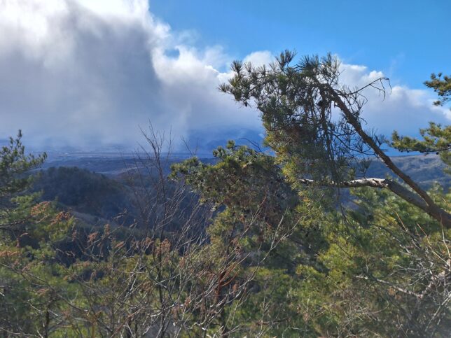
Views from Tachi-no-Nuki (sword-pulling) Rock, Senda, Kai-city, Yamanashi, 01/11/2026
Showing below is the Nagatoro Trail starting from Nagatoro Bridge to Mount Shirasuna, Mount Rakanji, and Panorama Hill Station of the Shosen Gorge Ropeway.
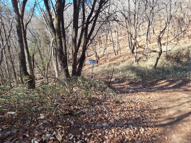
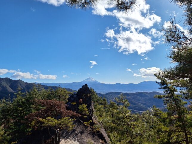
Nagatoro Trail to Mount Shirasuna and Mount Rakanji, Kai-city, Yamanashi, 01/11/2026
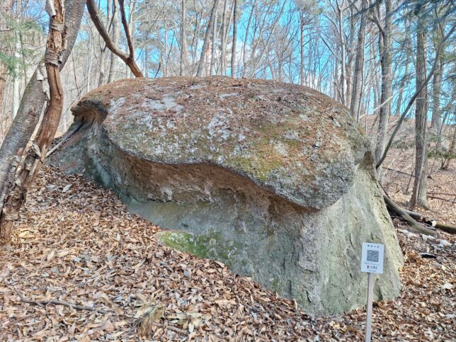
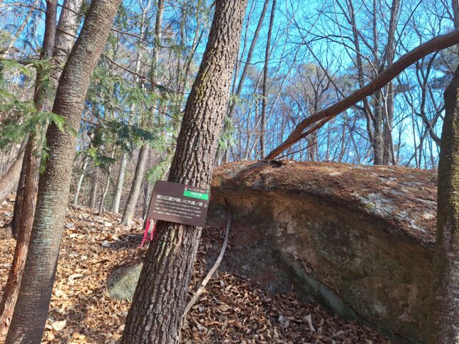
Hiroshige’s Large Rock and another similar rock, Kai-city, Yamanashi, 01/11/2026
It is said that Utagawa Hiroshige, a Japanese ukiyo-e artist, drew a painting based on the rock.
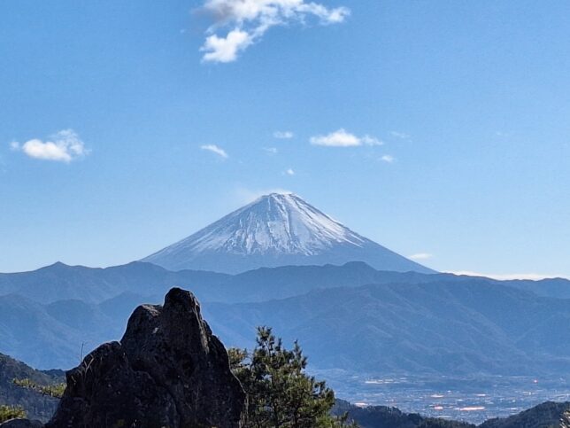
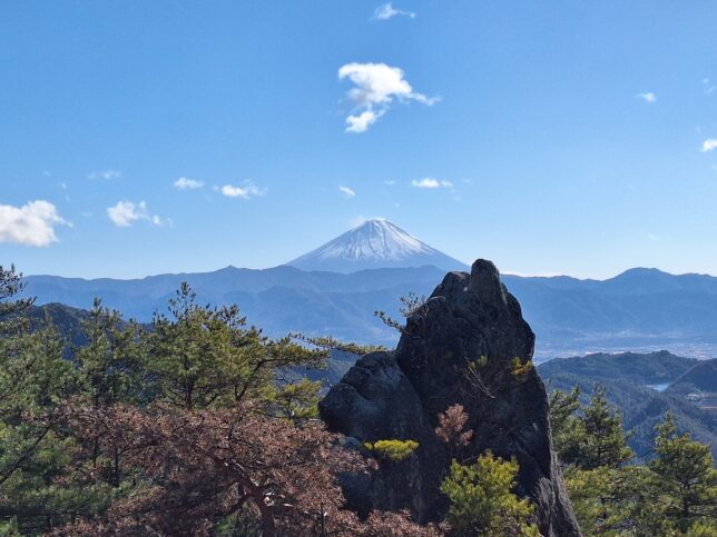
Views from Tachi-no-Nuki (sword-pulling) Rock, Senda, Kai-city, Yamanashi, 01/11/2026
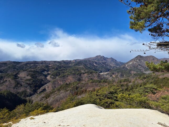
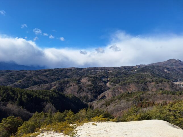
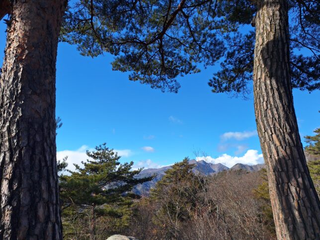
Hakusan (white mountain) Observation Point, Senda, Kai-city, Yamanashi, 01/11/2026

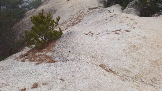
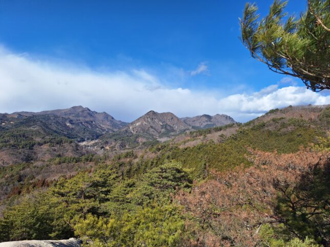
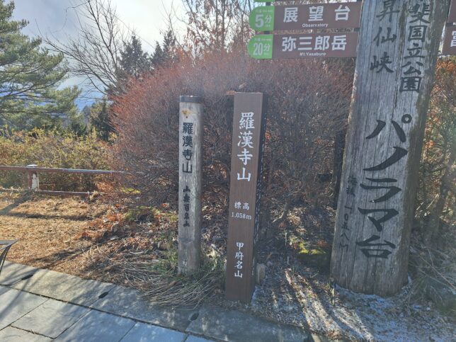
Mount Shirasuna, Senda, Kai-city, Yamanashi, 01/11/2026
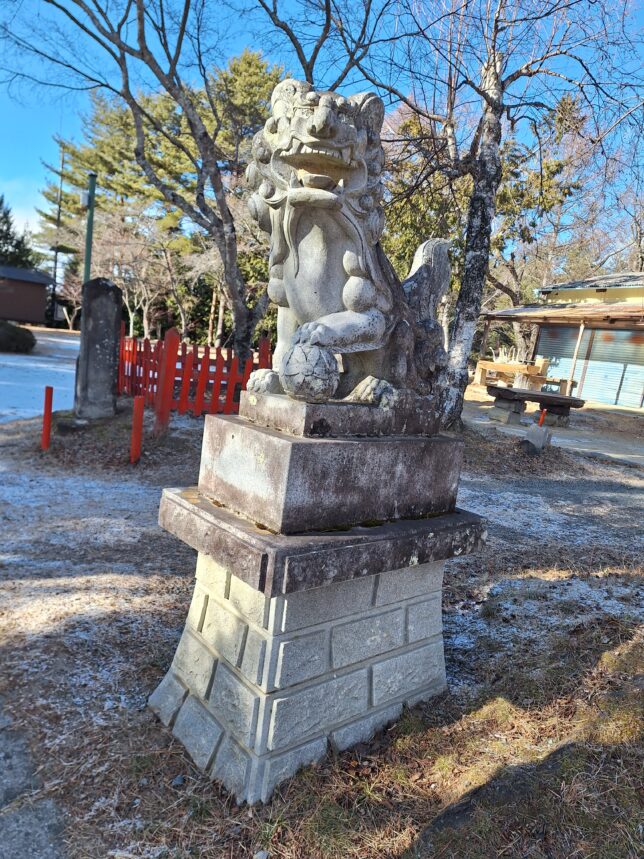
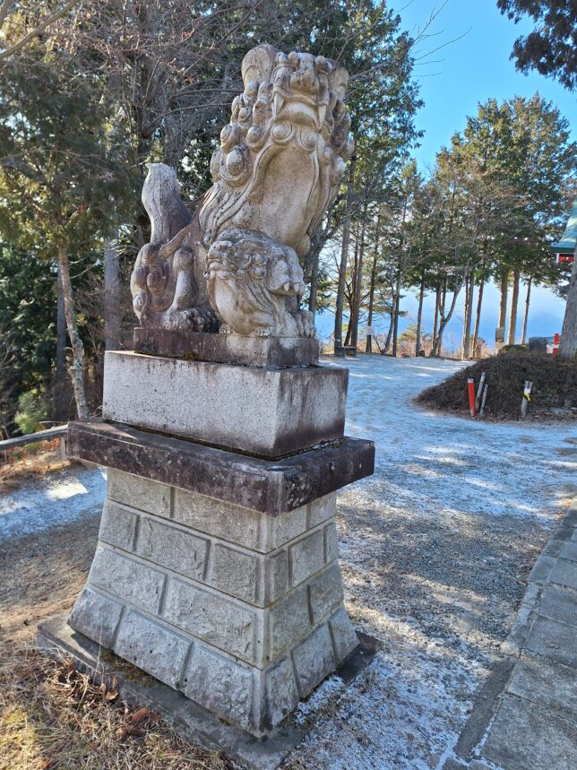
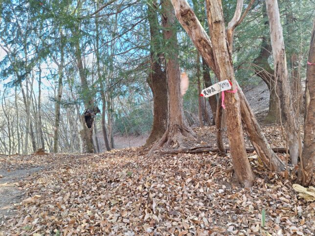
Yakumo Shrine, Panorama-Hill Ropeway Station, Kofu-city, Yamanashi, 01/11/2026

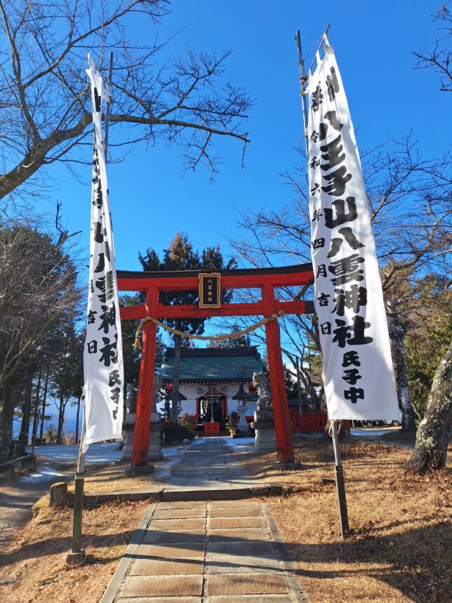
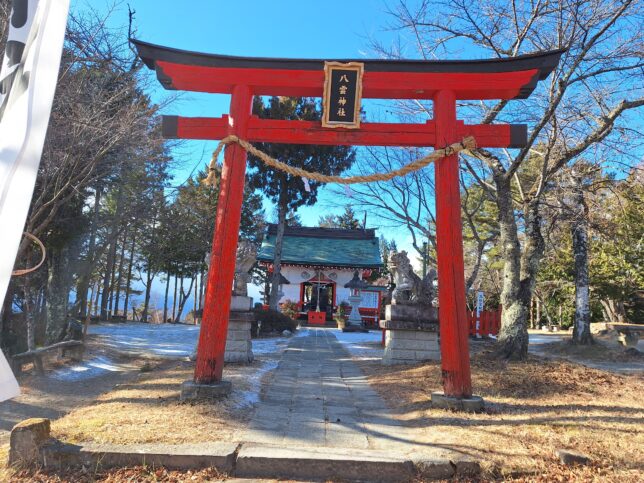
Yakumo Shrine, Panorama-Hill Ropeway Station, Kofu-city, Yamanashi, 01/11/2026
It was a very interesting day. It was clear and fine when we started walking; however, it was windy and getting snowstorm on the top of Mount Shirasuna. After 40 minutes, back to the trail, the sun came out and it was calm.
Shosen Gorge and Shosenkyo Ropeway: https://www.shosenkyo-kankoukyokai.com/en/; https://kofu-tourism.com/en/see-and-do/13
ITINERARY
(START) Kofu-city, Shosenkyo Tenjinmori Parking Lot – Nagatoro Bridge – Trailhead – Sword Pulling Rock – Mount Shirasuna – Ropeway Panorama Station – (descending) – Ropeway Senga Falls Station – Senga Falls – (Shosenkyo Gorge Trail) – Nagatoro Bridge – Shosenkyo Tenjinmori Parking Lot (GOAL)
Time: 4h 42min (Rest: 48 min), Distance: 11.5 km, Ascend: 755 m, Descend: 773 m