
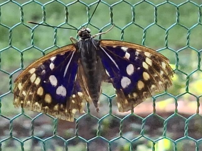
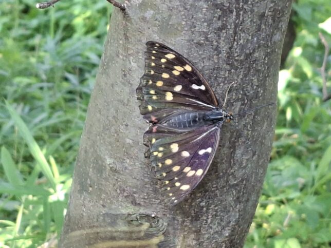
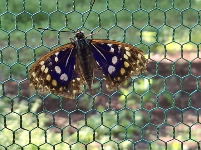
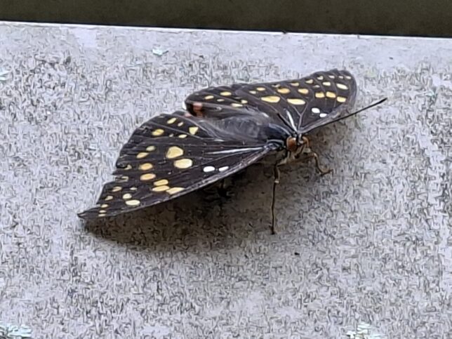
Great purple emperor (Sasakia charonda) is native to Japan (from Hokkaido to Kyushu), the Korean Peninsula, China, northern Taiwan and northern Vietnam. S. charonda is the national butterfly of Japan. There is Oomurasaki Center in the town of Nagasaka in Hokuto-city, Yamanashi Prefecture, Japan, which is dedicated to protecting and researching the great purple emperor butterfly, and you can observe their life cycle throughout the year.
https://en.wikipedia.org/wiki/Sasakia_charonda; https://stock.adobe.com/jp/search?k=%22sasakia+charonda%22
Oomurasaki Center: https://www.hokuto-kanko.jp/spot/oomurasaki_center/; (In Japanese) https://oomurasaki.net/aboutoomurasaki
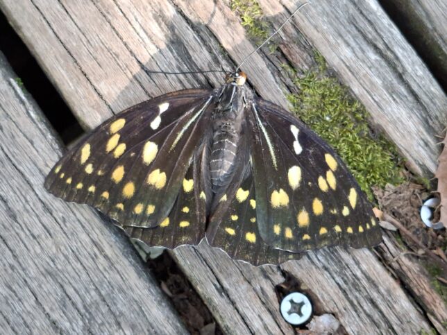
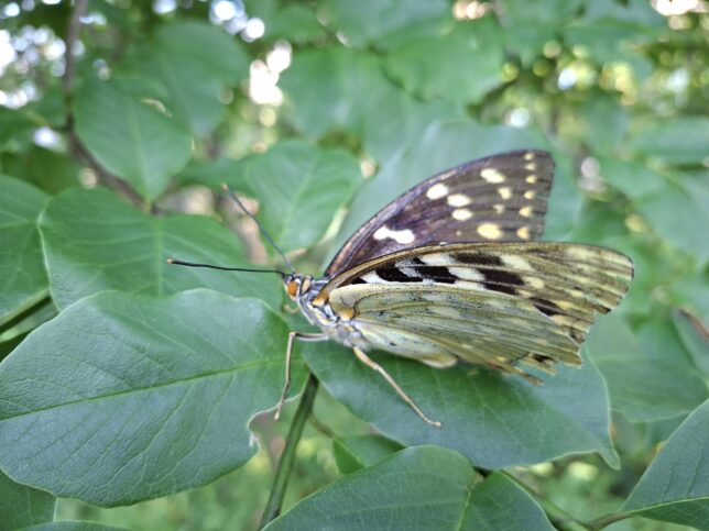
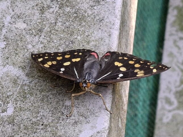
Great purple emperor butterflies Female (♀) and Male (♂), Oomurasaki Center, Nagasaka, Yamanashi, 7/10/2026
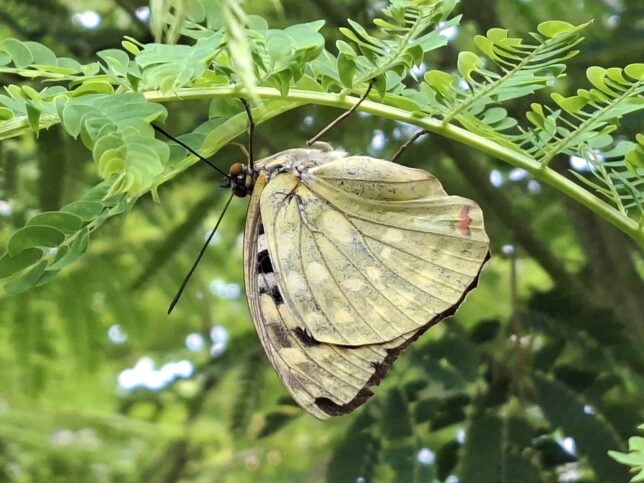
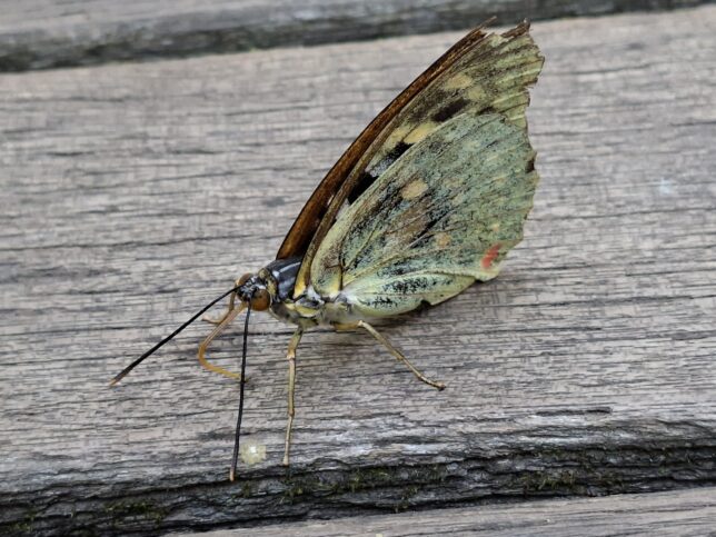
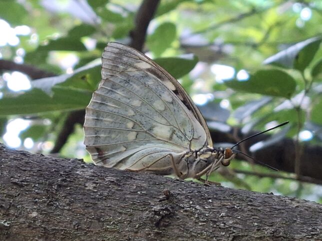
Great purple emperor butterflies (♀ and ♂), Oomurasaki Center, Nagasaka, Yamanashi, 7/10/2026
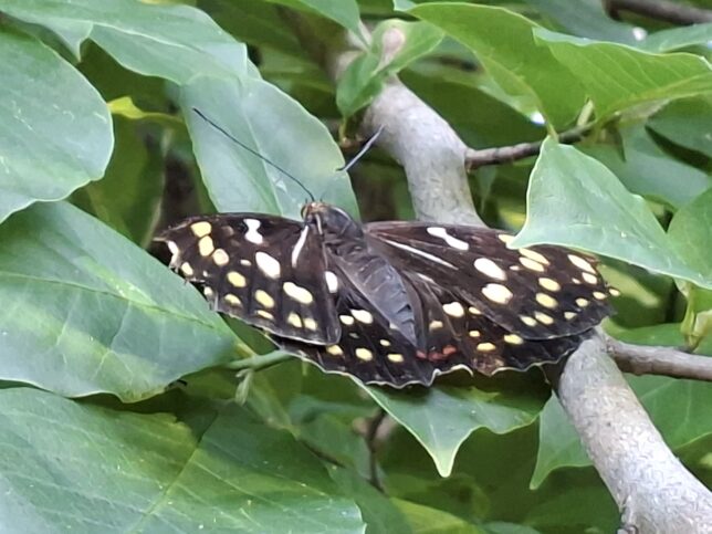
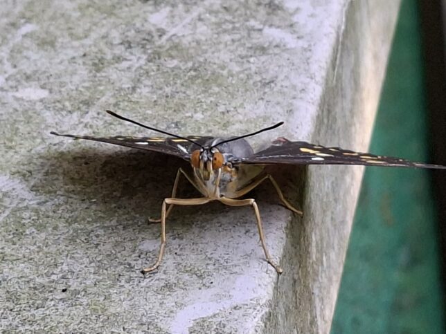
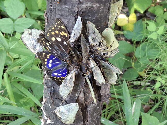
Great purple emperor butterflies, Oomurasaki Center, Nagasaka, Yamanashi, 7/10/2026
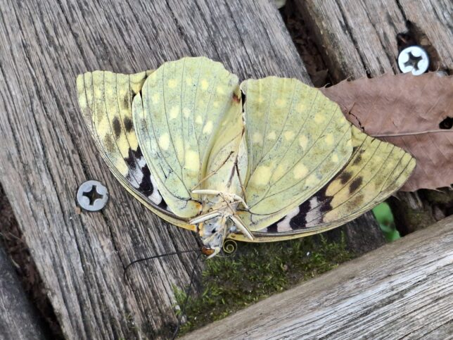
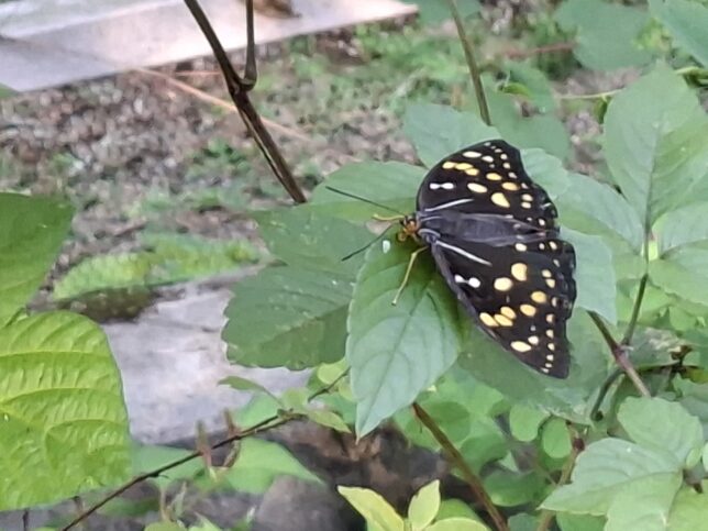
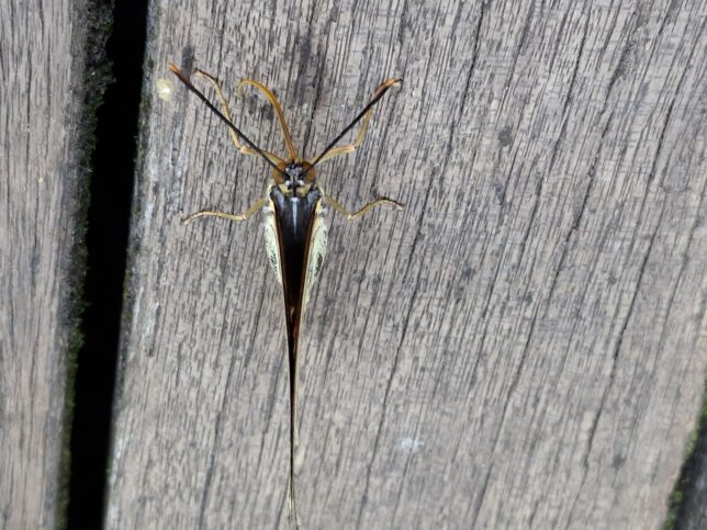
Great purple emperor butterflies, Oomurasaki Center, Nagasaka, Yamanashi, 7/10/2026


