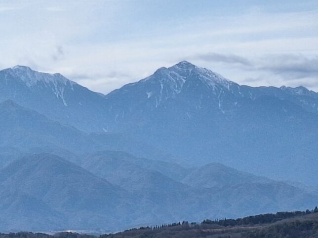
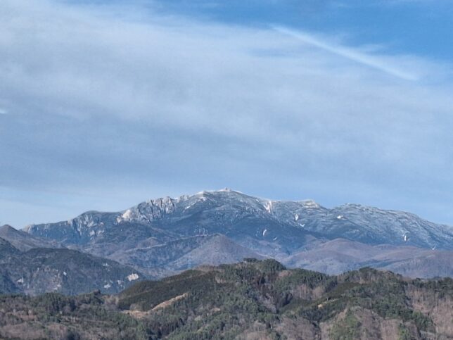
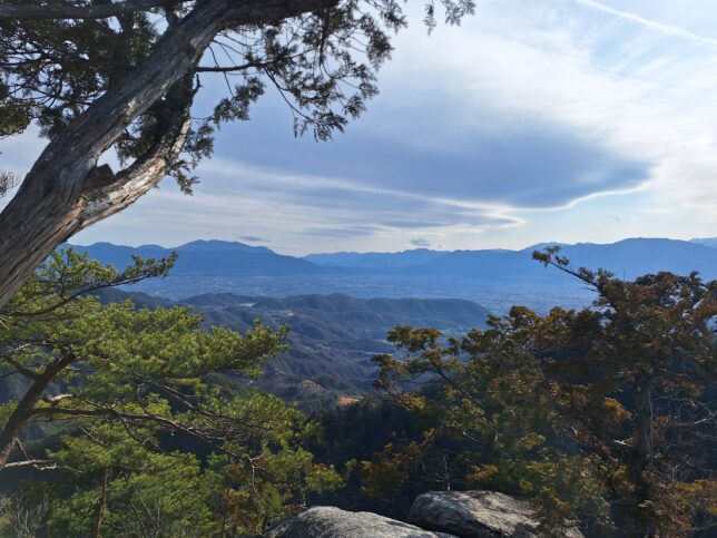
Mount Kaikoma (Kaikoma-ga-take) is a mountain of the Akaishi Mountains, located on the border of Hokuto in Yamanashi Prefecture, and Ina in Nagano Prefecture, in the Chubu region of Japan. Mount Kinpu (Kinpu-san), or Mount Kinpo (Kinpo-san) is a mountain and the main peak in the Okuchichibu Range in Kanto Mountains. It is located in Chichibu Tama Kai National Park on the boundary of Nagano Prefecture and Yamanashi Prefecture, Japan.
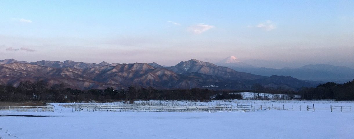
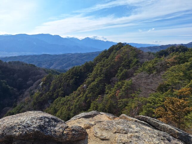
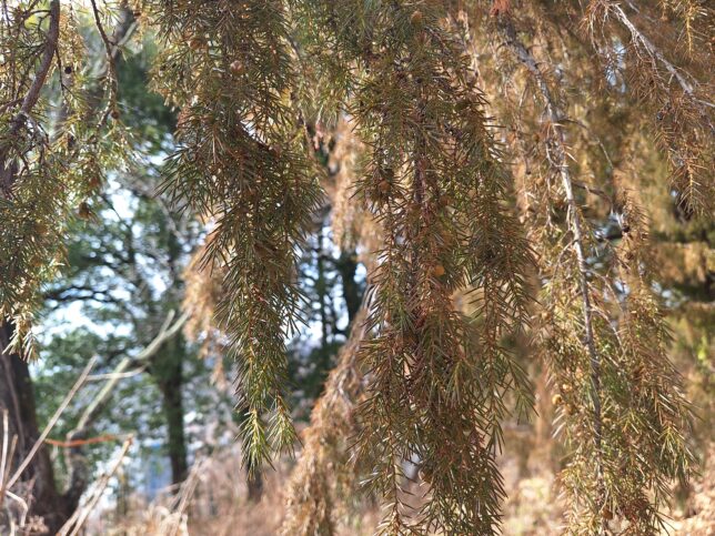
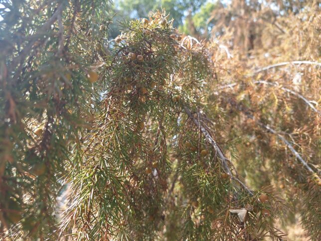
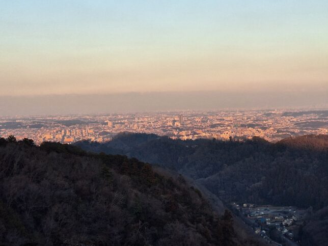
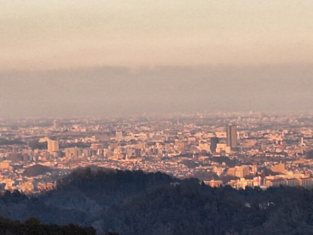
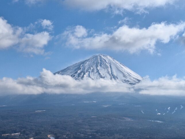
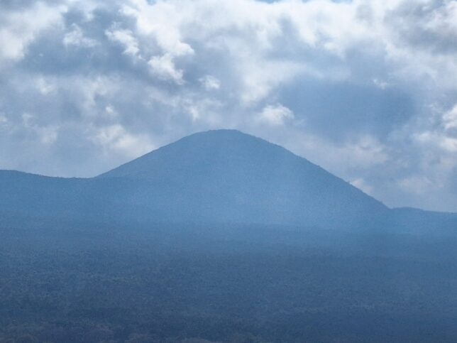
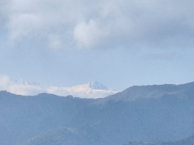
Views of Mount Kaikoma and Mount Kinpu (or Kinpo), and views from Yozaburo Rock, Panorama Hill Ropeway Station, Shosen Gorge, Kofu, Yamanshi, 3/08/2026
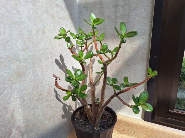
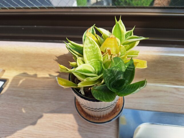
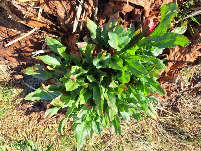
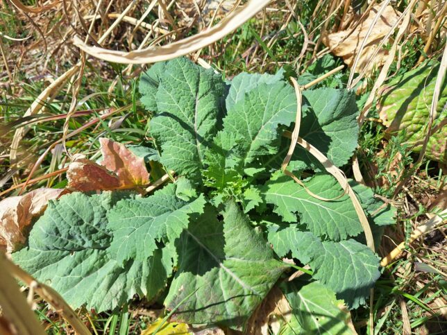
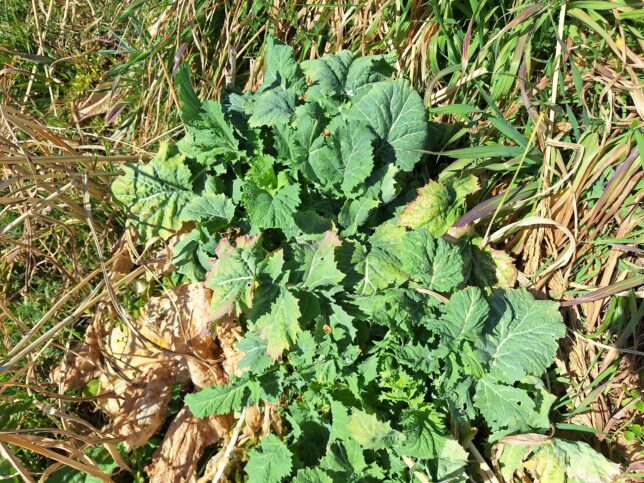
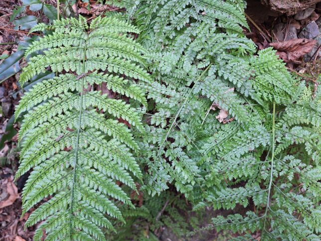
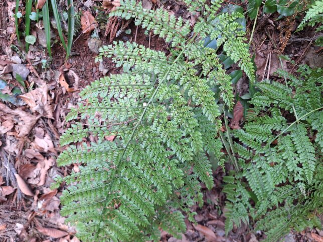
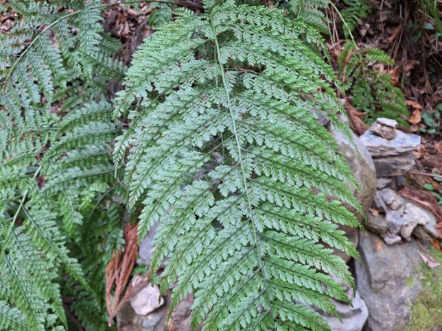
Some popular house plants, a jade plant and a snake plant:
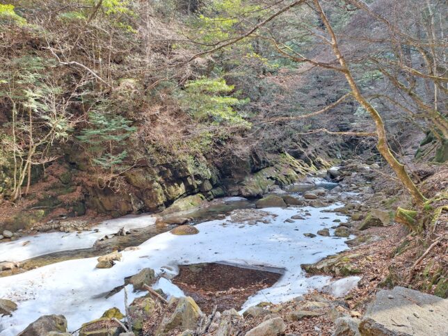
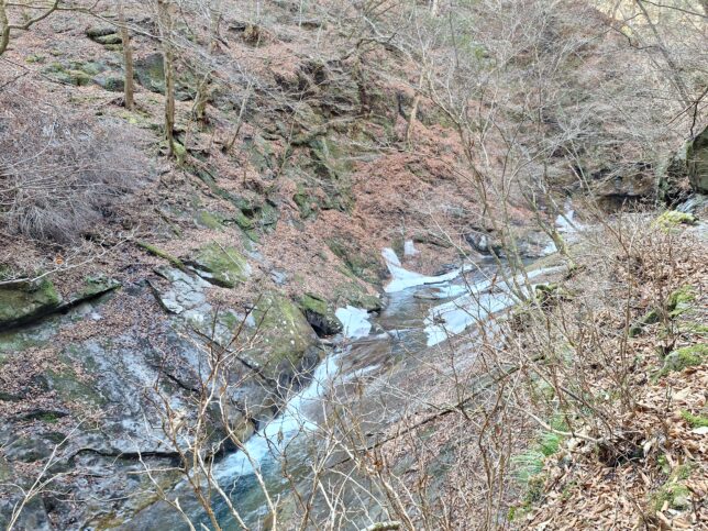
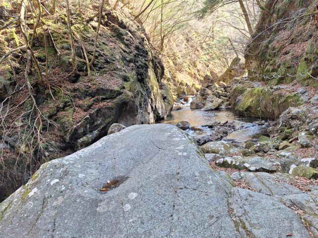
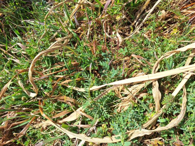
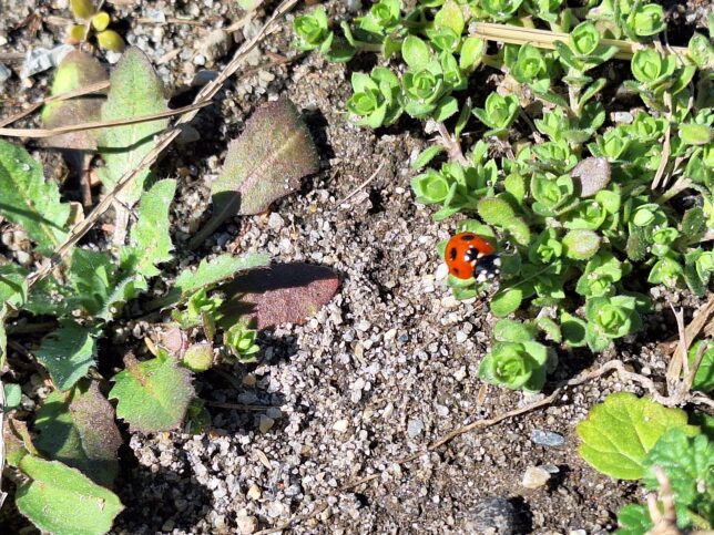
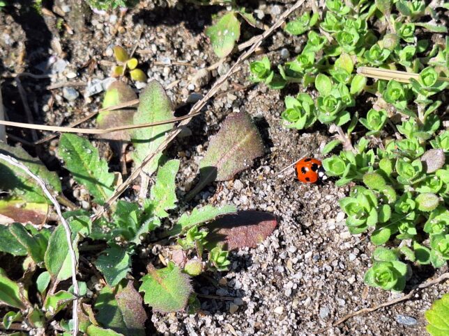
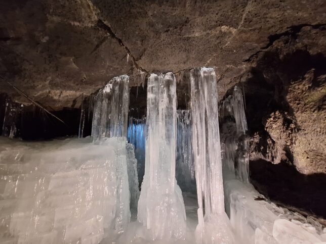
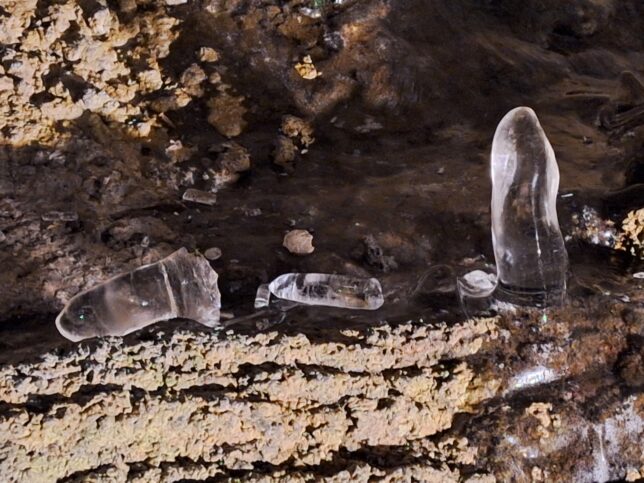
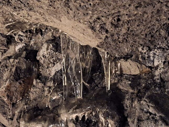
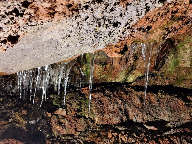
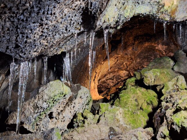
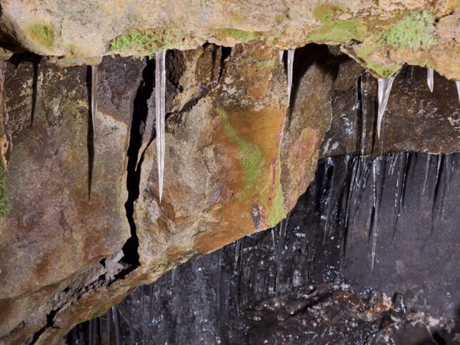
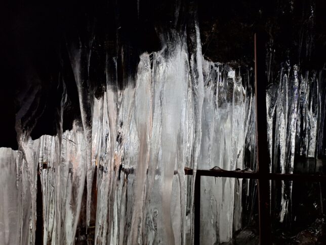
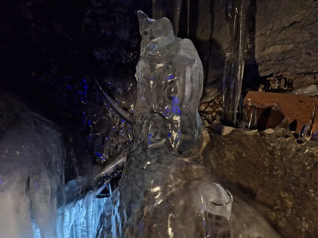
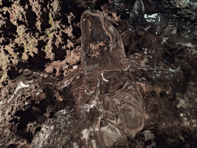
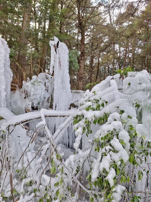
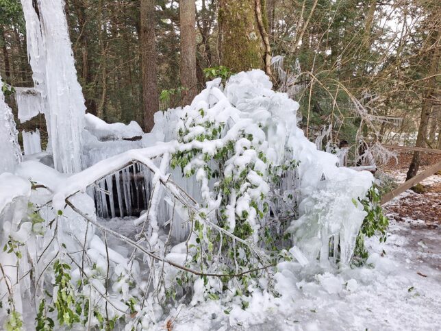
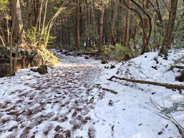
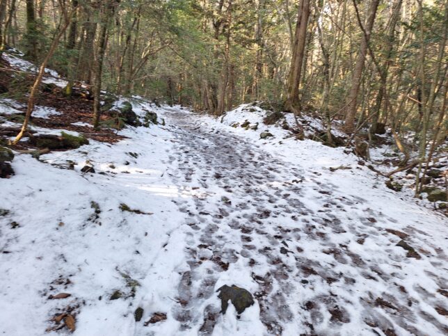
Nishizawa Gorge is located at the headwaters of the Fuefuki River, a tributary of the Fuji River, in the city of Yamanashi in Yamanashi Prefecture, Japan.
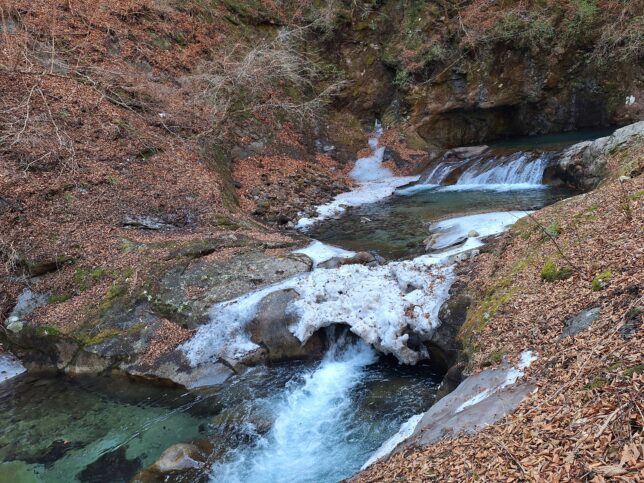
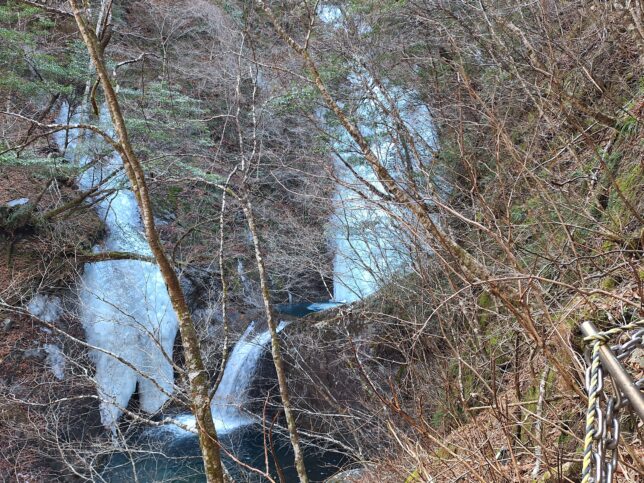
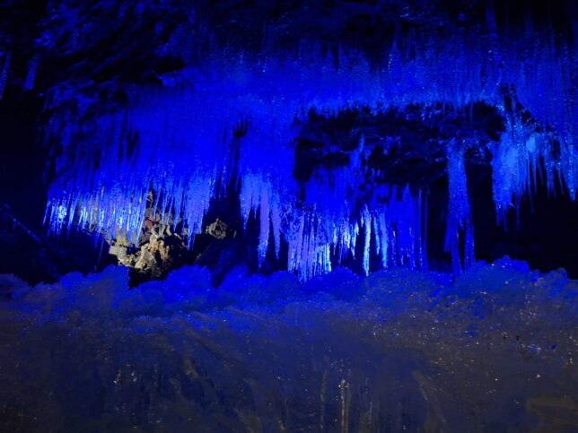
Ryujin Falls (a height of approximately 6 metres, just under 20 feet), Nishizawa Gorge, Yamanashi-city, Yamanashi, 2/28/2026
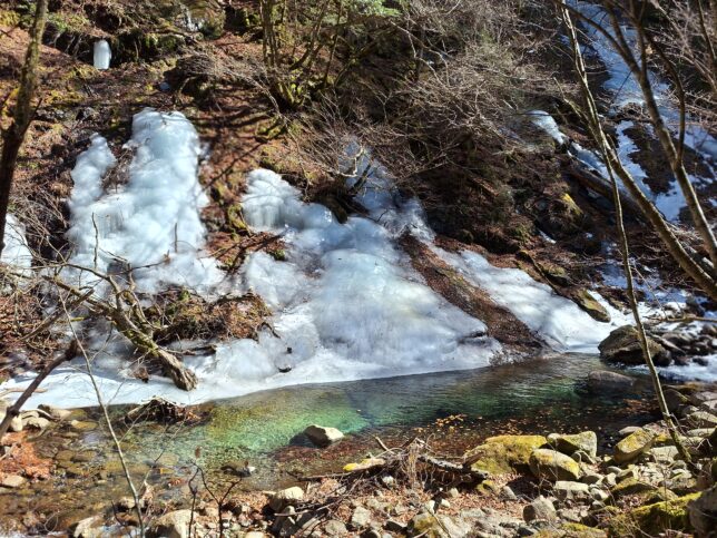
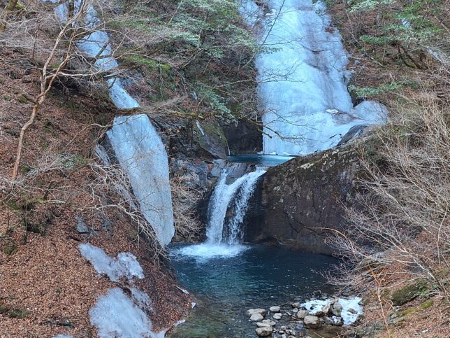
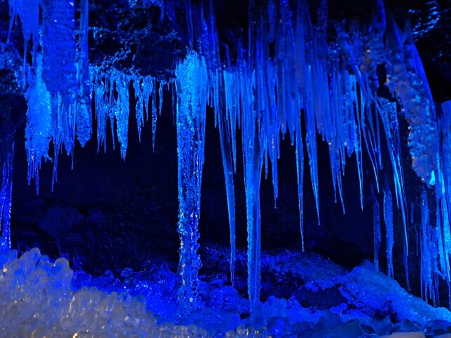
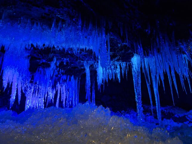
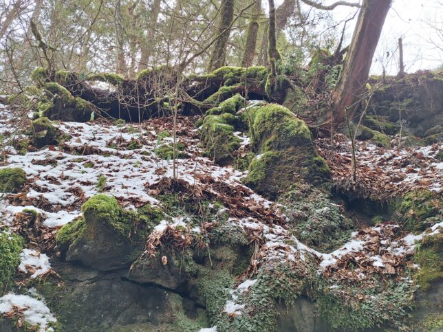
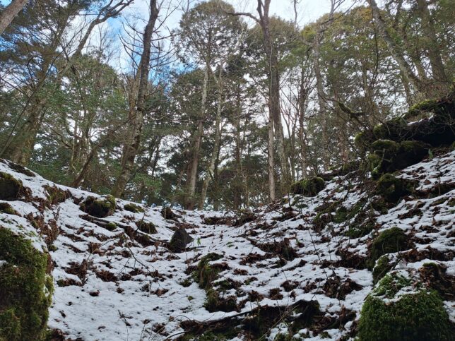
Views of Nishizawa Gorge, Yamanashi-city, Yamanashi, 2/28/2026
ITINERARY
(START) Nishizawa Gorge Parking Lot – Mie Falls – Hojo Bridge – (return) – Nishizawa Gorge Parking Lot (GOAL)
Time: 3h 8min (Rest: 23 min), Distance: 7.5 km, Ascend: 416 m, Descend: 386 m
Also, please read the articles “Nishizawa Gorge Hiking” on August 18, 2025 and “Hiking the Nishizawa Gorge Trail” on May 6, 2021 (https://etsuo.tokyo/2021/05).
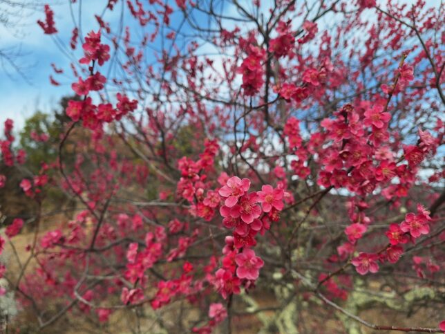
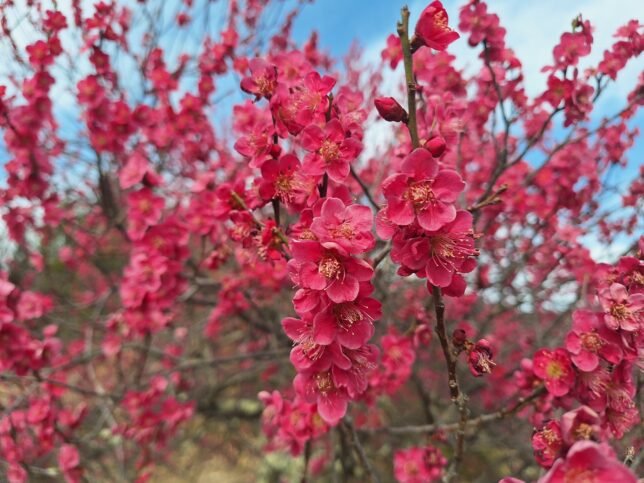
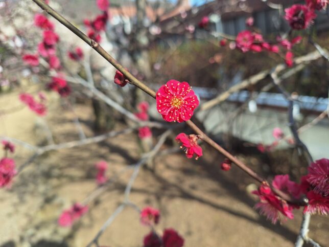
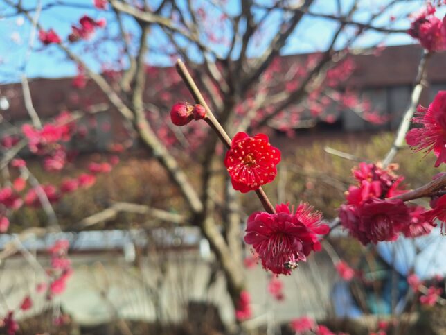
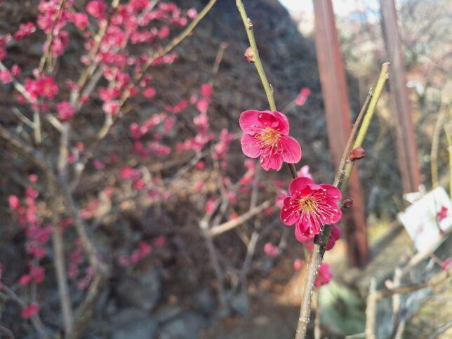
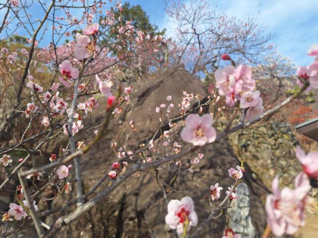
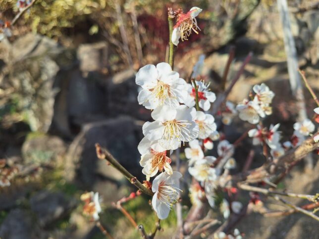
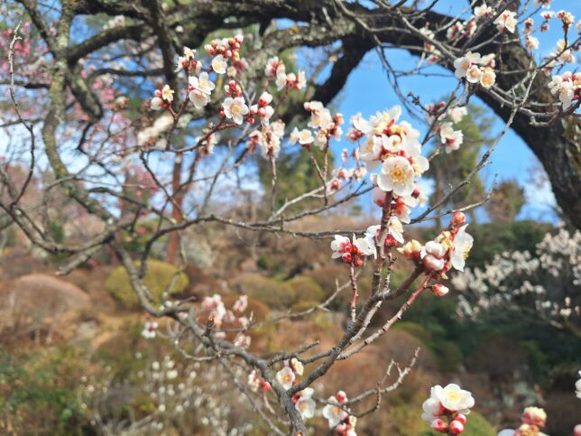
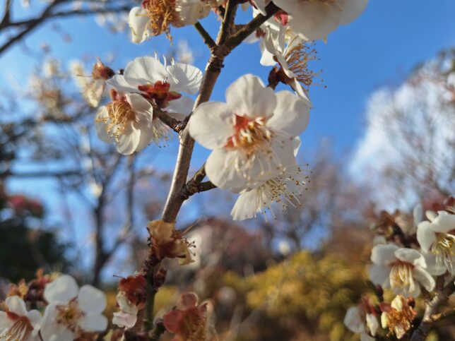
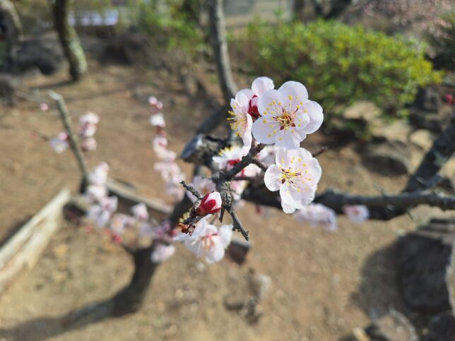
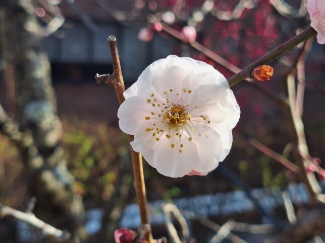
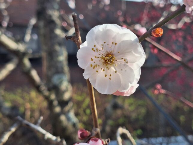
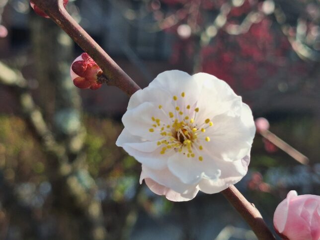
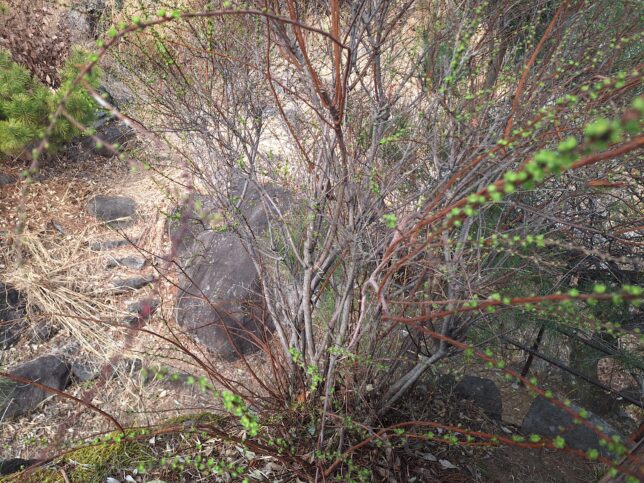
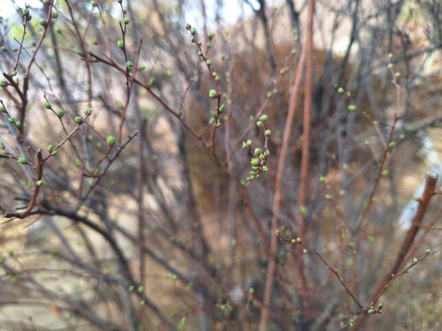
Today it was very warm. Although we are still in the middle of the winter season, Japanese apricot blossoms (ume in Japanese) began to bloom. They are the first to announce the arrival of spring. Japan is home to about 400 varieties of Japanese apricot trees, and their blossoms can be enjoyed nationwide from December to March. In Furoen Japanese Apricot Blossom Garden located in the city of Kofu in Yamanashi Prefecture, Japan, Japanese apricot trees began to bloom in early February. Here, there are more than 2,000 Japanese apricot trees of some 30 different varieties. I was luckily able to hear the singing sound of the Japanese bush warbler (Horeites diphone). They are also known as a signal of the arrival of spring in Japan.
About Furoen (Garden of Eternal Life) from the Garden’s pamphlet: Passing through the Gate of Eternal Youth and strolling among exotic rocks and ancient trees, one arrives at the Hermitage of Longevity (derived from one of the Chinese historical idioms).
Thunberg spiraea, Furoen Japanese Apricot Blossom Garden, Kofu, Yamanashi, 2/24/2026
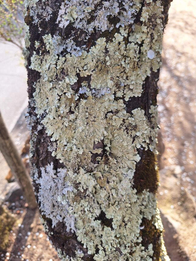
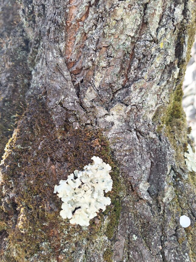
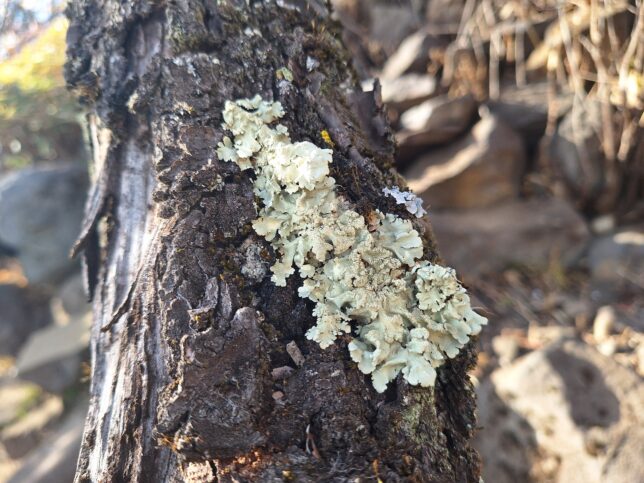
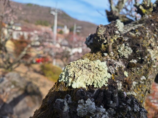
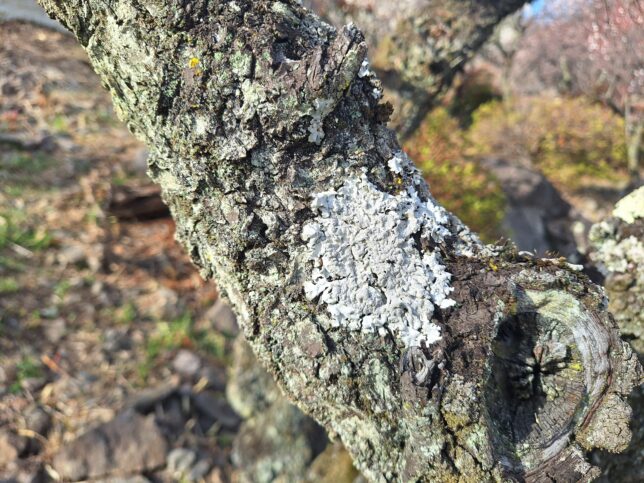
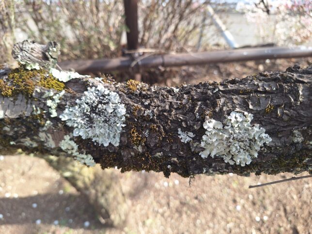
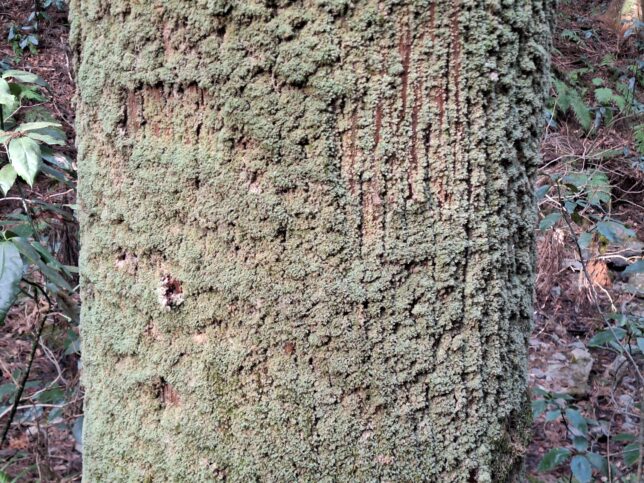
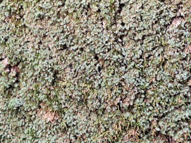
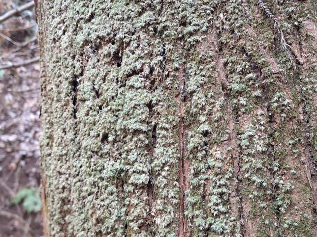
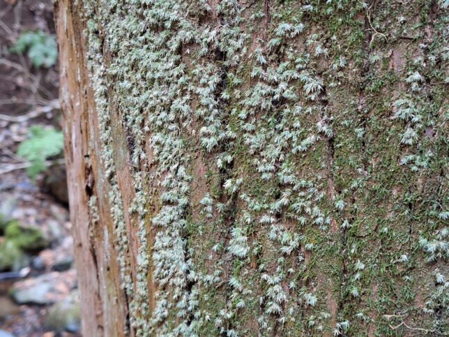
Common greenshield lichen (Flavoparmelia caperata) and Palm ruffle lichen (Parmotrema tinctorum) on Japanese apricot blossom trees, Furoen Japanese Apricot Blossom Garden, Kofu, Yamanashi, 2/24/2026
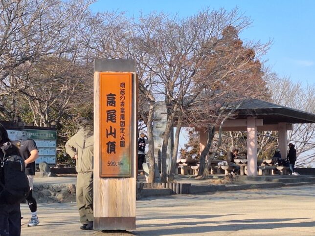
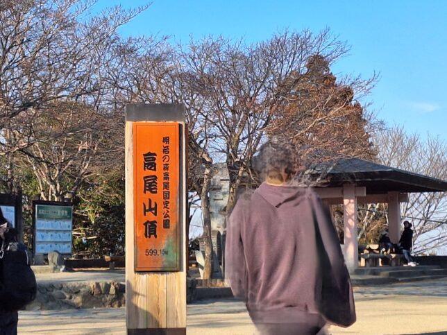
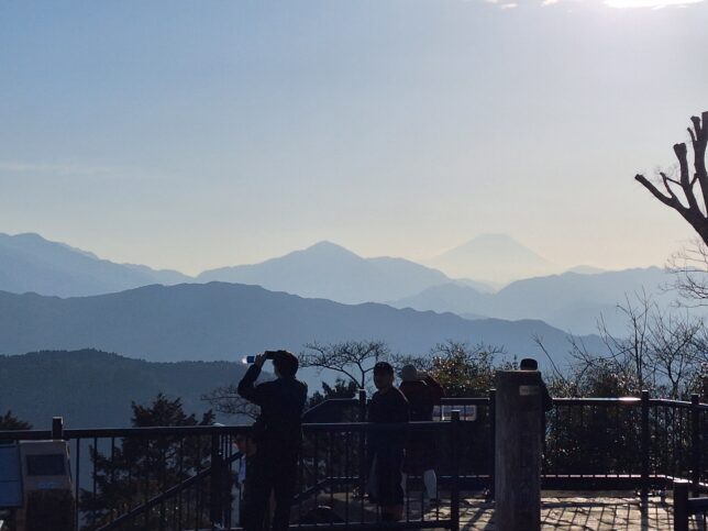
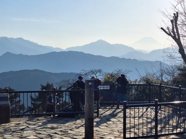
Mount Takao is located in Western Tokyo, in the city of Hachioji in the Tokyo Metropolis, Japan. It is a popular destination. The elevation of Mount Takao is 599 meters (approximately 1,965 feet). Despite its low altitude, it offers panoramic views of Tokyo and Mount Fuji and beautiful autumn foliage. Mount Takao earned a prestigious three-star rating in the Michelin Green Guide Japan in 2007, and it boasts the highest number of climbers in the world, with approximately 2.6 to 3 million visitors annually.
Mount Takao offers six main, well-marked hiking trails ranging from a paved, beginner-friendly path to more rugged trails. All of them are accessible from Takaosanguchi Station. Key starting points include Kiyotaki Cable Car Station for Trail 1 (Omotesando) and Myoon Bridge for Trailr 6 and Inariyama trailhead near the Station.
Takaosanguchi Station is a passenger railway station located in the city of Hachiōji, operated by the private railway operator Keio Corporation. It is the main point of railway access to Mount Takao.
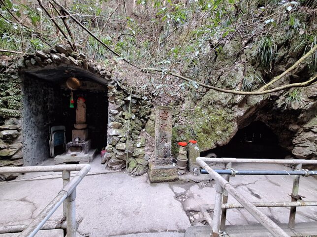
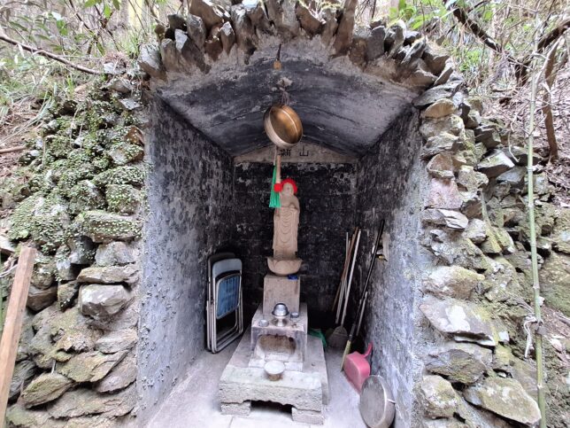
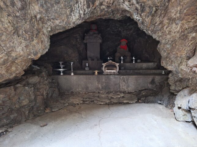
We took Trail 6. According to the legend, when Kukai (Kobo Daishi) visited Mount Takao, he stayed in a cave at the Iwaya Daishi area to avoid the storm.
Statue of Iwaya Daishi and two caves
Iwaya Daishi Caves, Mount Takao, Hachioji-city, Tokyo, 2/21/2026
Iwaya Daishi Caves, Mount Takao, Hachioji-city, Tokyo, 2/21/2026
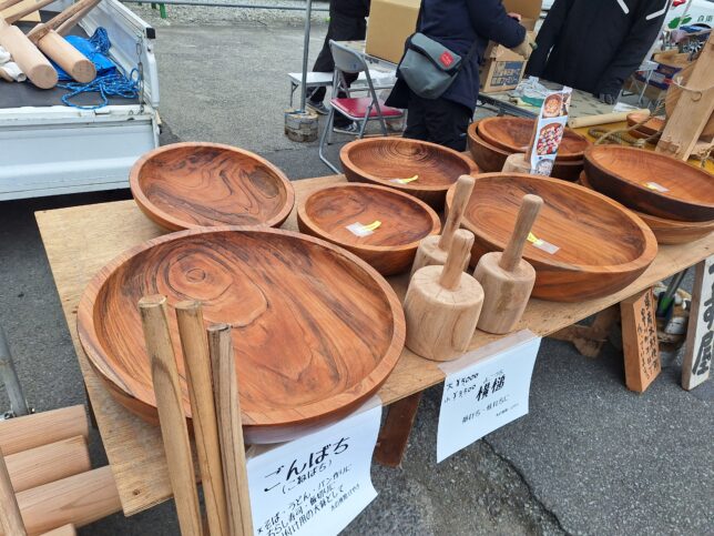
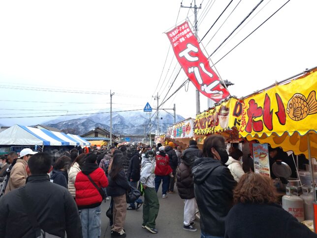
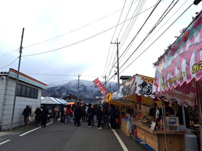
Tokaichi, or the Tenth Day Market, in the city of Minami-Alps in Yamanashi Prefecture, Japan, is a historic, 400-year-old traditional open-air market held annually on February 10th and 11th (Feb. 7th and 8th in 2026) to herald the arrival of spring. It is a massive market known for selling everything “except cat eggs and horse horns,” featuring traditional wooden crafts (mortars, pestles), local food, and Daruma dolls.
Wooden Crafts stand
Tokaichi, Minami-Alps, Yamanashi, 2/08/2026
Food stands: kebab, taiyaki (fish-shaped cake with sweet red bean paste), yakisoba (stir-fried noodles), okonomiyaki (Japanese savory pancake) and the like, Tokaichi, Minami-Alps, Yamanashi, 2/08/2026
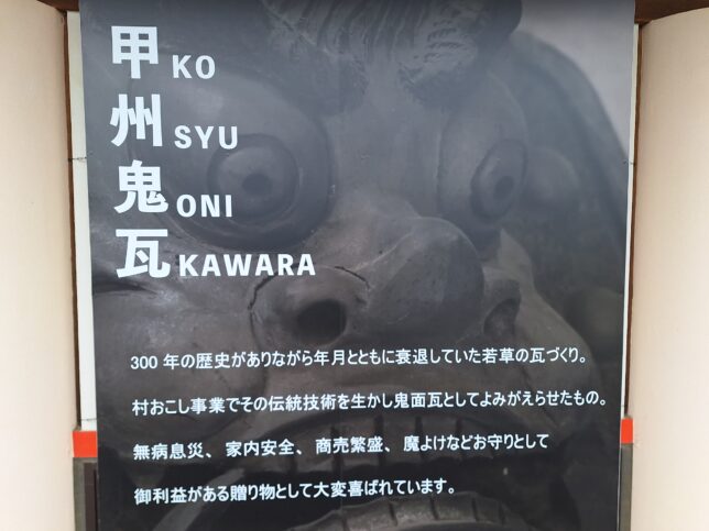
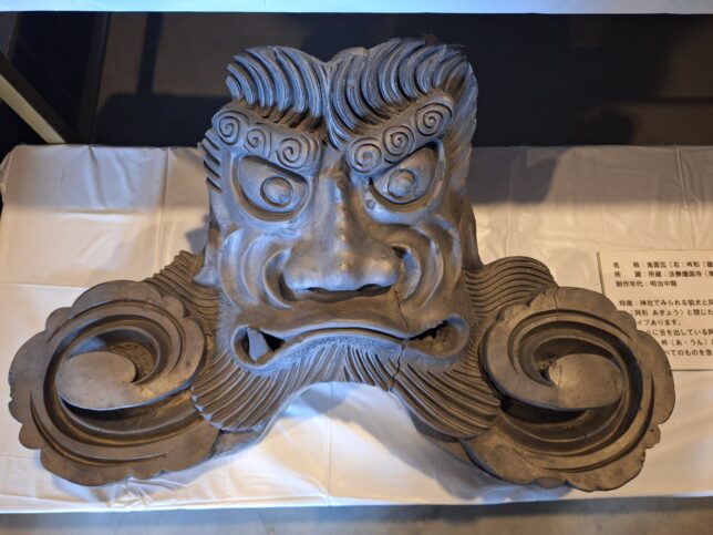
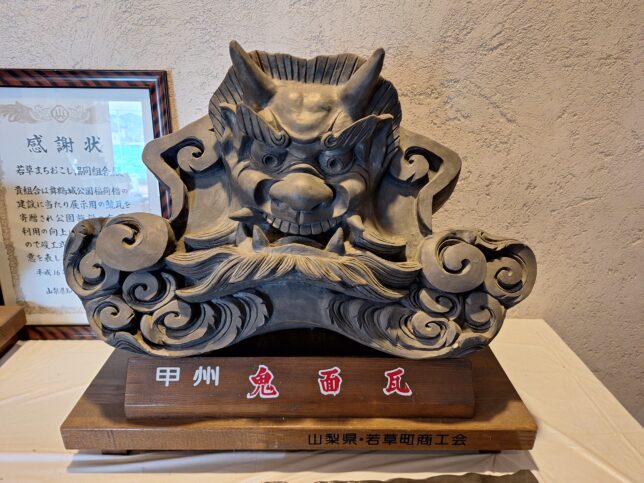
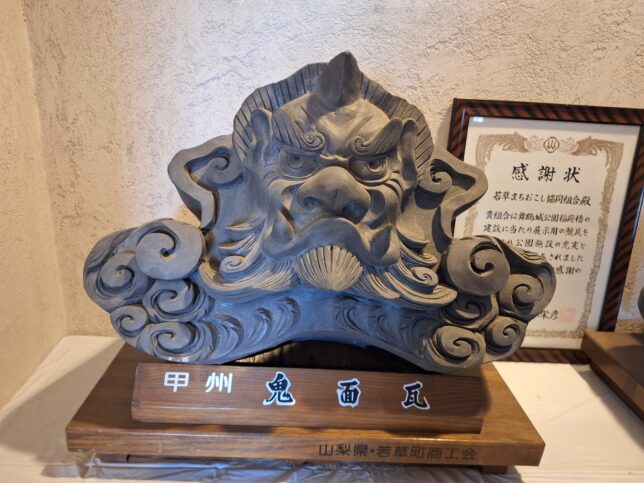
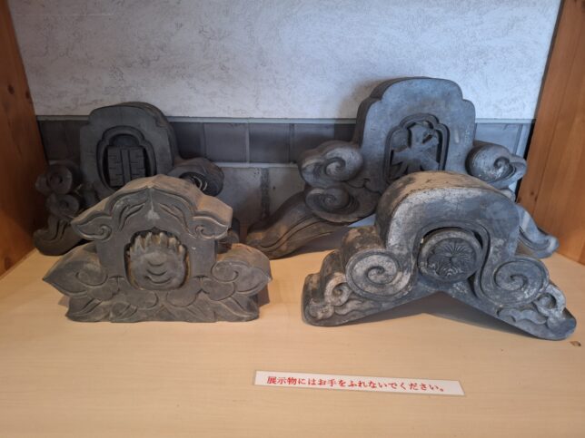
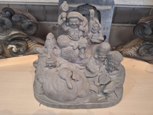
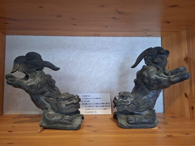
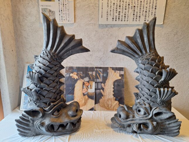
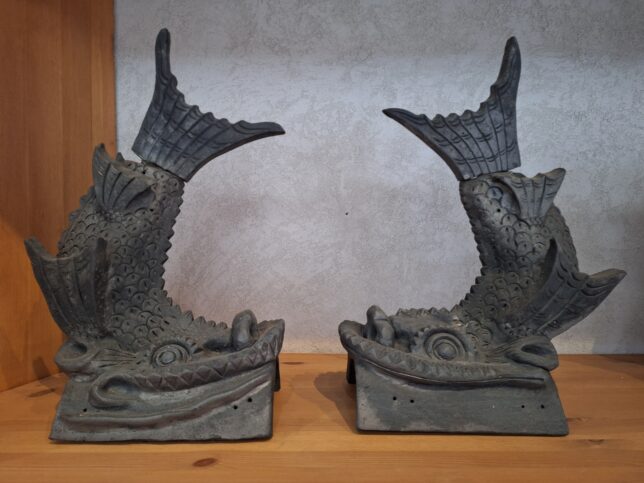
Onigawara are decorative roof tiles placed at the ends of the roof ridge, often depicting the face of an oni (Japanese ogre) or other designs. The city of Minami-Alps is recognized as the production site for Koshu onigawara. The Wakakusa district in the city has a long history of tile-making, and today the Wakakusa Kawara Kaikan (Tile Museum) preserves this tradition and allows visitors to experience making these crafts.
“Koshu” historically refers to the former Kai Province, which is largely equivalent to modern-day Yamanashi Prefecture.
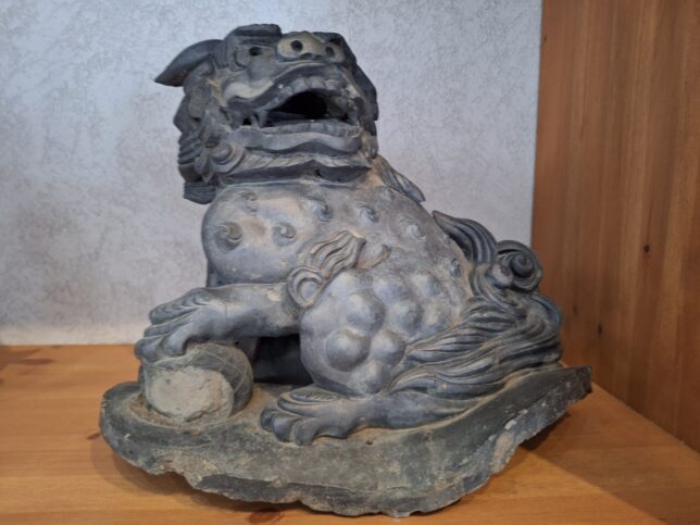
Shachihoko are mythical Japanese creatures with a tiger’s head and a carp’s body. They are also placed as roof ornaments on Japanese castles and temples to serve as protective, fire-extinguishing spirits, usually appearing in male-female pairs. Shachihoko are also made in the Wakakusa district using the local clay.
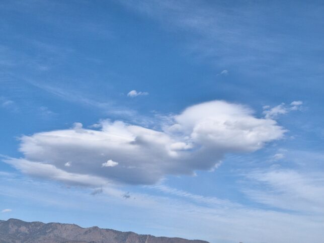
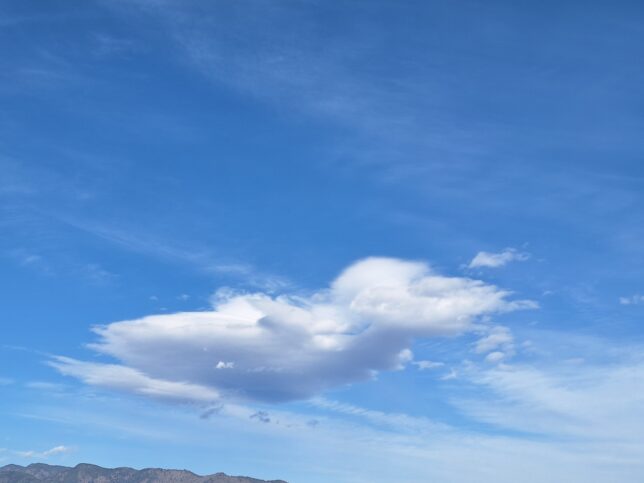
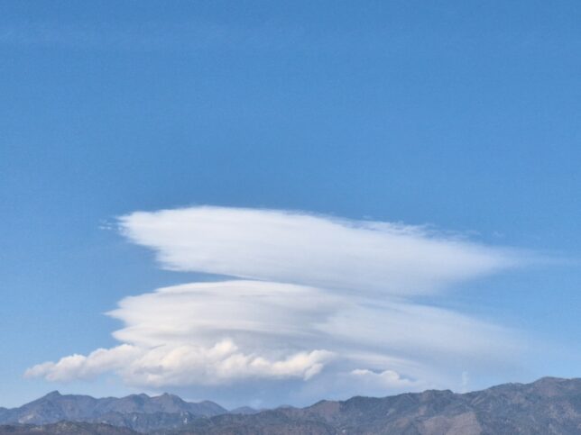
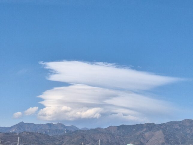
February 6, 2026. It was unseasonably hot and sunny. The maximum temperature in the city of Kofu in Yamanashi Prefecture, Japan, was 17.9℃ with a minimum temperature of -2.0°C.
Lenticular clouds in a hot day, Kofu, Yamanashi, 2/06/2026